IGIS

Primary Image
IMG_5356 copy.JPG
Article

Day 1 Wrap Up from the NEON Data Institute 2017

June 19, 2017
I left Boulder 20 years ago on a wing and a prayer with a PhD in hand, overwhelmed with bittersweet emotions. I was sad to leave such a beautiful city, nervous about what was to come, but excited to start something new in North Carolina.
View Article
Primary Image
IGIS Academic Coordinator Sean Hogan teaches a workshop on drone technology at CalGIS 2017
Article

Reflections from CalGIS 2017

June 2, 2017
By Andrew J Lyons, Sean D Hogan
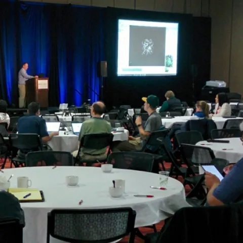
Last week we enjoyed attending the CalGIS 2017 conference in Oakland. This year the meeting was co-hosted with LocationCon, so it was larger than usual and had a good mix of participants from government, non-profits, academic and consulting companies.
View Article
Primary Image
Desert tortoise
Article

Mapping the Mojave Desert with Drones

May 15, 2017
By Andrew J Lyons, Sean D Hogan
As part of our mission to test drone technology and provide mapping services to the ANR community, IGIS recently completed data collection for our largest drone mapping project to date - 3600 acres of the Mojave Desert.
View Article
Article

Cloud-based raster processors out there

May 2, 2017
Hi all,Just trying to get my head around some of the new big raster processors out there, in addition of course to Google Earth Engine. Bear with me (bare?) while I sort through these. Thanks for raster sleuth Stefania Di Tomasso for the leg work. 1. Geotrellis (https://geotrellis.
View Article
Article

DS421 Data Science for the 21st Century Program Wrap Up!

May 2, 2017
Today we had our 1st Data Science for the 21st Century Program Conference. Some cool things that I learned: Cathryn Carson updated us on the status of the Data Science program on campus - we are teaching 1200 freshman data science right now. Amazing. And a new Dean is coming.
View Article