IGIS

Primary Image
image 33804
Article

GIS Day Wrap Up (a bit late...)

December 20, 2015
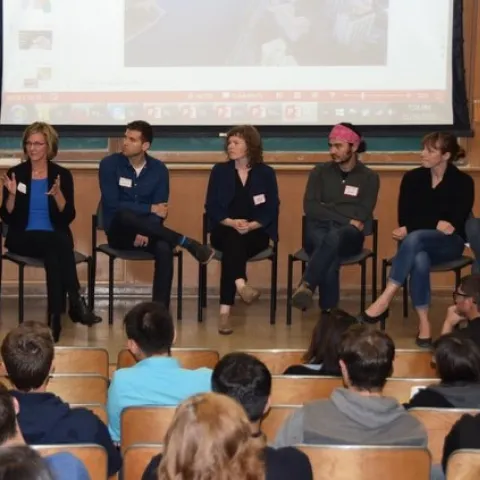
Panel of mapping innovators @ GIS Day 2015 The GIF began in November 2015 on a wave of excitement around geospatial technology. In the months leading up to our first GIS Day in 2005, Google Maps launched, then went mobile; Google Earth launched in the summer; and NASA Blue Marble arrived.
View Article
Primary Image
Bioregion Maps 150515 Page 06
Article

IGIS creates California bioregion maps

November 20, 2015
By Shane T Feirer
What are "Bioregions"? Bioregions are an area bounded by natural rather than artificial borders that has characteristic flora and fauna and includes one or more ecosystems. IGIS worked with the the California Naturalist Program to create a simple maps of the bioregion in California.
View Article