IGIS

Article

Data Visualization of WWII

August 31, 2015
Here in the Kelly Lab we talk a lot about effective ways to visualize data. How do we show the true weight and impact of those data we work with? How do we communicate uncertainty? I think this fellow Neil Halloran did a pretty great job with WWII.
View Article
Primary Image
image 31700
Article

Google Earth Engine @ the GIF!

August 24, 2015
Students, researchers, mappers, and big data enthusiasts took place in an exciting 2 day Google Earth Engine workshop this last week hosted by the GIF and the Google Earth Engine Team.
View Article
Primary Image
image 31481
Article

Funny pic on Google Maps

August 13, 2015
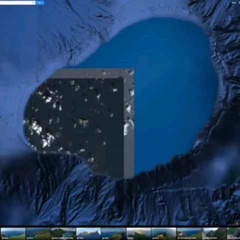
This is the island of Nihoa, northwest of Kauai, viewed in Google Maps. Hawaii on my mind. Anyway, it is a funny shot with mixed resolutions, and what looks to be a bordered image without its adjacent partner images. Web link: https://www.google.com/maps/@23.0606579,-161.
View Article